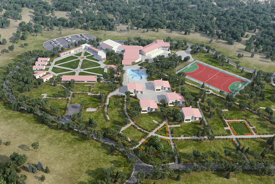
Students from Olivet School of Engineering and Architecture are collaborating with the University to compose a series of campus maps that are to be published upon completion. The maps will serve as a visual guide for visitors to the campus, outlining Olivet’s landmarks, buildings, and academic facilities.
The project arose from one of OSEA’s design labs as the group saw a need for a revamped map with updated information. OSEA students have the opportunity to learn more about the University’s campus while researching style guides that can visually communicate its information.
Reviewing blueprints and measuring the building structures will be an early step in the process before the team builds out 3D models. Students will then followup the models with lighting, texture, and rendering out the final map.


